We drove the Benton Crossing Road around to the eastern flank of Glass Mountain and then turned west toward Sawmill Meadow.
We set up camp at the end of a short 4x4 road that serves as the trailhead to the summit of Glass Mountain. The next morning I started hiking up the steep use trail to the summit.
Relaxing on the summit of Glass Mountain (11,160 ft) I gazed across to the northern summit. It is 40 feet lower than the southern summit.
One last look at the summit before heading back to camp.
One of many obsidian outcrops found along the trail. The outcrops made it very clear how the mountain got its name.
Jan greets me with a smile as I return to camp. She is probably smiling because her feet aren't as sore as mine.
We moved our camp to Sawmill Campground.
The next morning I set up my new backpacking hammock and Jan certified it as comfortable.
Continuing our circumnavigation of Glass Mountain.
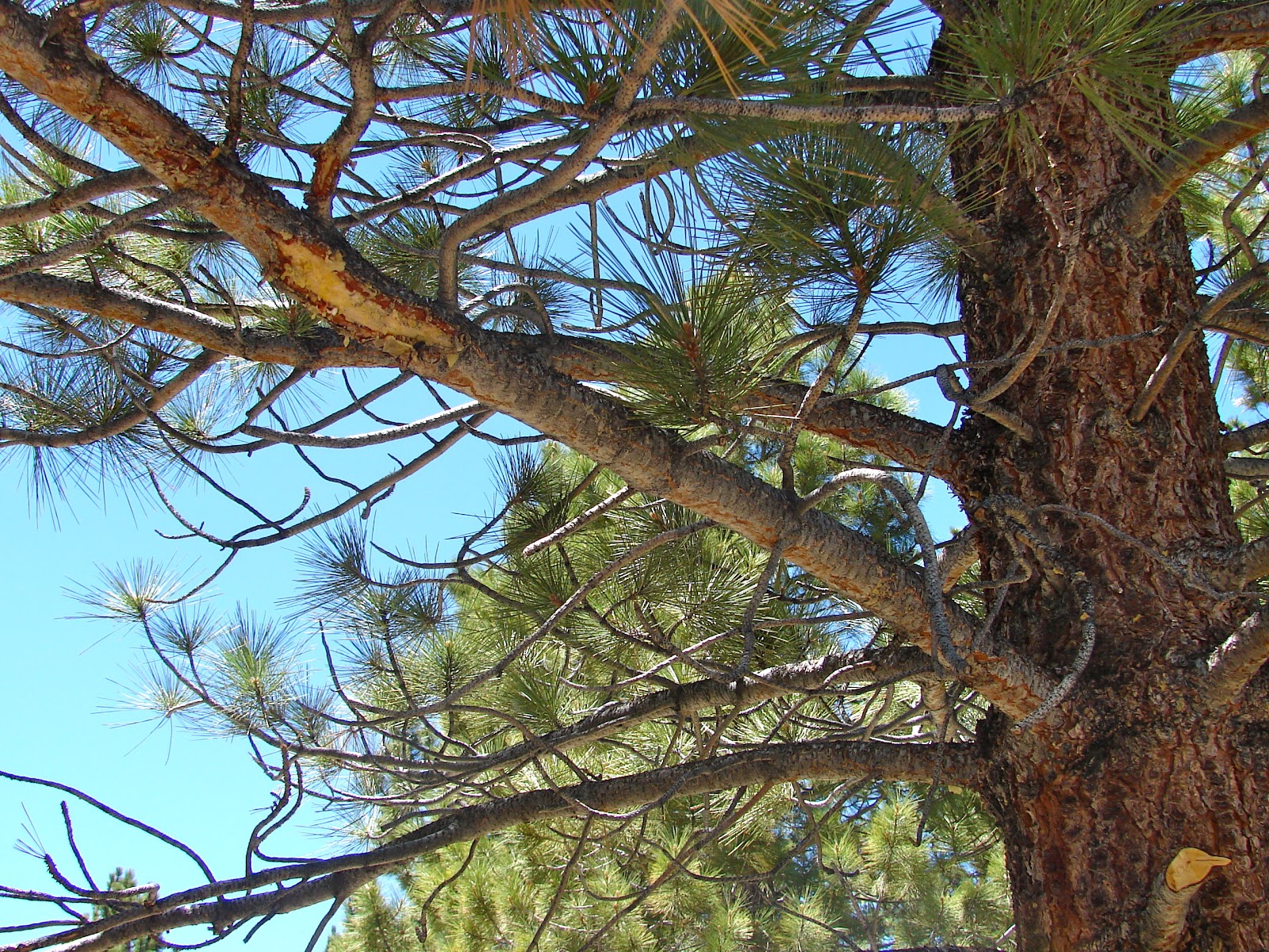
We tired of the graded roads and began to travel on the 4x4 roads. When we encountered this fallen tree Jan thought we were stymied but a few other vehicles had driven through the trees and around the obstacle.
In examining the branches above our route we noticed that a camper using the bypass had a close encounter with a tree. Our pop-up camper missed the branch by three feet.
Sunset at our camp 2,500 feet above Long Valley and about 6 1/2 miles west of Glass Mountain.
Sunrise. The mosquitoes were intense at dusk and dawn.
Headed back to the main road. We did not see any other people during our three night stay except one camp about three miles from pavement on the last day.
We drove north to CA 120 and met pavement just east of Sage Hen Summit.
While driving along the south shore of Mono Lake we decided to visit Navy Beach.
Signs that read 4x4 only always seem to get our attention.
The alkaline waters of this endorheic lake.
Obligatory photo of tourist standing next to lake.
High winds forced kayakers off the lake just as we arrived at the shoreline.
Waves breaking against tufa towers far off shore.
One of the tufa formations near Navy Beach.
Tufa formation from above.
Another from above.
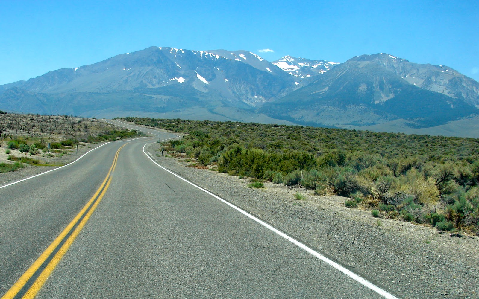
We head for home.
Mount Wood, Parker Peak, Kolp Peak and Mount Lewis in the distance.