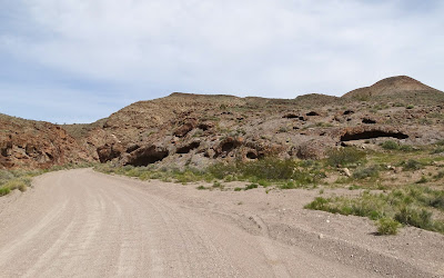
The were several vacant campsites but the traffic on US 93 was just a few hundred yards away and there were several more hours of daylight so we drove on.
A bog creature who looked to be a cousin of Groot beckoned for us to stay as we departed the refuge.
We turned down the invitation and drove north then east onto Alamo Canyon Road.
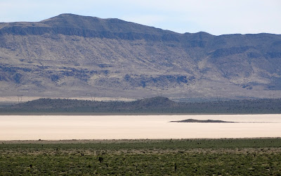
A short time later Delamar Lake appeared in the distance.
Out in the middle of the lake bed was an island which was our destination.
We passed under the guyed-V tubular towers of the One Nevada Transmission Line.
And drove onto Delamar Lake.
Mirages were happening on the lake bed.
Upon arriving at the island we walked to its highpoint. During our stroll we discovered small pockets of trash. I suggested to Jo Ann that we circumnavigate the island and pick up all the trash. She agreed and for an hour we worked at the task. An entire garbage bag was filled with trash from the shoreline of the island.
After our bit of community service we drove away from the island and set up camp on the playa.
The next morning mirages were happening once again.
On our way we stopped at a Chinese cemetery near Delamar Wash.
And less than a mile away was an old camp.
Looked like the parts of an ore roaster.
A few signs of domesticity were found.
Our next stop was Delamar or as it was known at the time, "The Widow Maker" because the gold was in quartzite, which when crushed created a fine silica dust. Miners would breathed in the dust and developed silicosis much like what happened when the Hawks Nest Tunnel was built in the 1930's.
At the height of the Delamar boom 1,500 people lived in the town and it had an opera house, hotels, a hospital, churches, a school and of course saloons.
Curiously this was the third safe that we found while exploring the town.
We found several markers for the Horn family.
Made me wonder if any of the residents were related to my paternal grandmother.
It was late afternoon as we made our way north and then east to Caliente. After purchasing fuel we drove under the Union Pacific Railroad and then south on Rainbow Canyon Road.
From the looks of this car there had been some serious water flowing down the wash.
High rock walls lined the road but the cloudy afternoon sky made for poor photography.
More evidence of past flooding in Rainbow Canyon.
High canyon walls waiting for the right light.
We stopped in Elgin to visit the school house but it was closed.
Soon it was time to look for a place to camp. We drove east up Kane Springs Road and after trying a few side roads found a site just after sunset.
After breakfast Jo Ann drove west on Kane Springs Road headed for home while Bosco and I drove east back down into Rainbow Canyon.


No comments:
Post a Comment