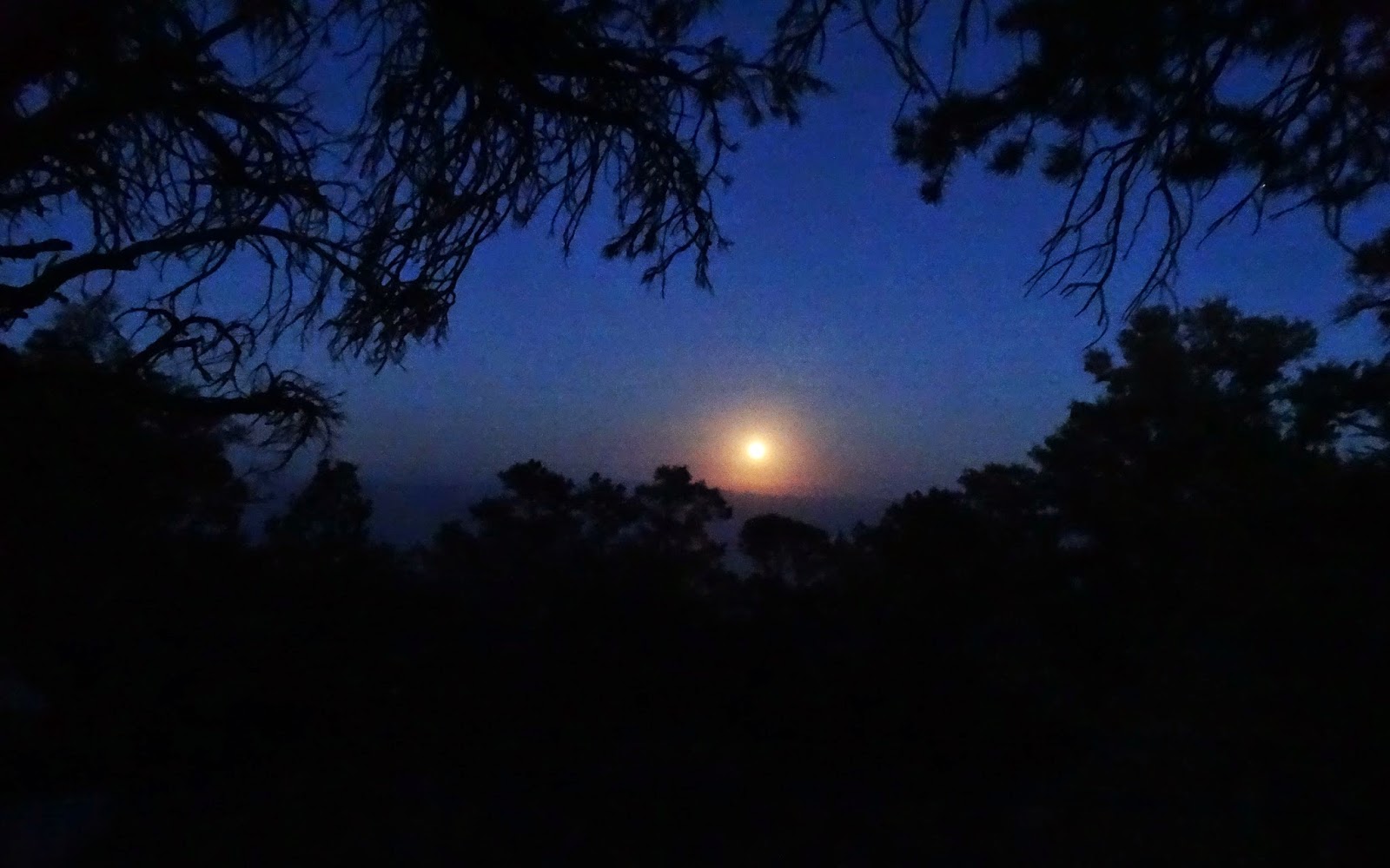
We arrived
at Campo Alto on the summit of Cerro Noroeste/Mount Abel (8283 feet) in the Los
Padres National Forest as the sunset cast rays of orange on
the Jeffrey Pines surrounding our camper.
In less than 20 minutes the temperature dropped from 62 degrees to 47 as a brisk wind drove clouds of mist through our camp.Ben quickly donned all of his clothing and some of mine.
Above us the trees were drenched by the mist and created a summer rain as the moisture dripped from their branches.
Dawn on Cerro Noroeste. This campground was very clean because of the recent work by the Los Padres Forrest Watch.
Bundled Ben returning to camp.
Two amateur radio clubs were conducting 2014 field day operations from the mountain on Saturday and Sunday. I hold an amateur radio license but have never participated in a field day and was tempted to give it a go but we had a spring to visit.
On our way down the mountain we stopped at the old ski chalet. Not much on the internet about this site. "Cerro Noroeste or Mt. Abel, Los Padres National Forest, off state 399, 30 mi. south Maricopa. In 1967 had 200 feet of vertical with one rope tow and a snowplay area for toboggans." - An Overview of Skiing in Southern California
The doors were still locked and barred.
Here the Vincent Tumamait Trail drops off the shoulder of Mount Abel on its way to Mount Pinos. We were here to visit a camp that that I missed years ago when bagging the peaks along this trail. A few months ago I read about Sheep Camp on the hiking blog of Craig R Carey, author of Hiking and Backpacking Santa Barbara & Ventura.
We hiked about two miles along an up and down forested trail.
Until we reached 22W02, where we turned right and hiked about 1/2 mile down to Sheep Spring.
The spring box was covered by this old sign.
We did not measure the flow but the box was full.
The middle of the three Sheep Camps. This was a delightful camp that might require a visit with a backpack for an extended stay.
After about an hour relaxing it was time to begin our return hike. The spring box is located on the hill behind this sign.
Knowing that Campo Alto would be crowded with amateur radio operators we drove down the mountain toward Marian Campground and were soon driving the Brush Mountain 4x4 trail with the intention of camping on the peak's north ridge. But shortly after this photo I was reversing the truck on the Brush Mountain 4x4 trail. Many years had passed since I had driven this trail and my brain did not remember a sloppy loose dirt hill climb just after a sharp right turn. (My brain remembered a steep rocky climb.) I decided that camping at Marian would be better than spending an hour in the coming darkness extracting the truck if we didn't make the climb.
We set up camp under the pines of Marian Campground and enjoyed our supper in the cool night air. Stars above our camp at 10 PM. An aircraft passed through my 20 second exposure, the dotted line of light, center right.
6:30 AM at Marian Campground.
Some campers a couple of sites away from us left around 7:30 AM. They also left a smouldering campfire. It took two gallons of water to extinguish the embers.
The San Joaquin Valley in the distance, below the haze, where it was probably already 80 degrees. Soon it was time for us to drive down to lower elevations and leave the pleasantly cool mountain temperatures.


