
We had planned to drive WA 20 along the Skagit River over the Cascades but it was closed due to avalanche danger. Instead we took US 2 over Stevens Pass where we spotted this unfortunate cabin.

We spent the night in Wenatchee, WA.

The next morning visited A's RV for some propane service.

We headed south and after a good breakfast in Quincy crossed the Columbia River on the Blue Bridge (Pioneer Memorial Bridge).

Continuing south into Oregon we turned onto the Blue Mountain Road looking for a location to set up camp.

Dawn at our Blue Mountain Camp.

The next morning we encountered a rafter of turkeys.

The deepest snow we saw while in Oregon.

Continuing south on US 395 headed for Burns.

In Burns, OR we turned east on Oregon 178 and after 65 miles drove south on the Alvord/Fields Road paralleling the Steen Mountains on our right.

Sunset colors the sky over the Steens.

Our camp near Alvord Hot Springs, Steen Mountains in background.

Alvord Hot Springs. The soaking pools are about 100 yards away from the source.

Driving south towards Fields, OR.

Fields Station is an old stagecoach stop and the only sure place to purchase gasoline in the area. The station in Denio, Nevada is only 30+ miles away but has a sporadic history.

We stopped by the two room school in Fields and the gracious teachers gave us a tour of their remote facility.

We investigated some dirt roads while driving to Winnemucca, Nevada.

Santa Rosa Mountains ahead as we approach the junction of Nevada 140 and US 95. We stopped to have a flat tire repaired in Winnemucca and then continued southwest to California.

Our camp near the CA/NV line.
Looking back at the our route into California.

We turn south on US 395.

Pogonip Fog covering Mono Lake Valley.

Hot Springs Road near Mammoth, CA.

Hot Springs Road and McGee Mountain, on the left, the site of the first permanent rope tow in the Eastern Sierra.

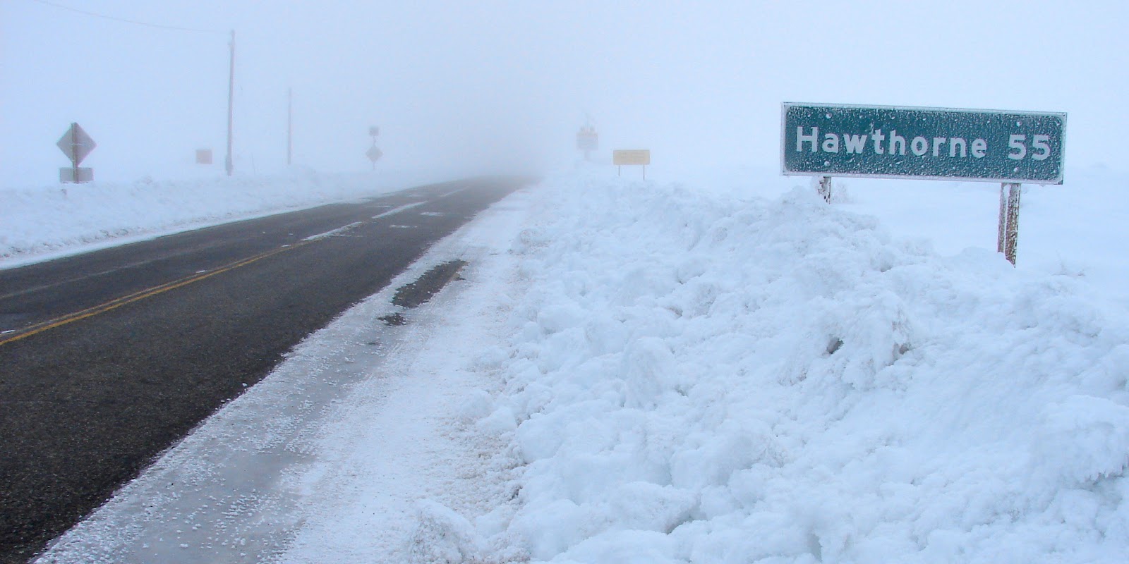
Headed for home.


