Headed east into the Marble Mountains to a campsite I had used in 1992. One mile after this photo was taken our drive was stopped by a little red wilderness sign in the middle of the road. It seemed that the Desert Protection Act of 1994 had declared the road ahead and the mine at the end of the road wilderness.
We drove back to pavement and headed west into the setting sun toward the Bristol Mountains.
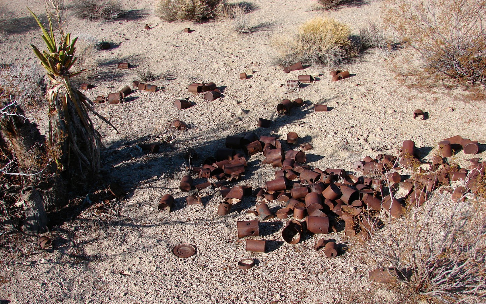
Our camp just off the road in Orange Blossom Wash.
We weren't planning on visiting the Orange Blossom Mine but it was near so after breakfast we drove west until reaching this No Trespassing sign. "In August, 1908, an eight-stamp mill, housed in an impressive structure, was started up at the Orange Blossom Extension. By November the mine was down to 720 feet, and the ore was running from $8 to $10 per ton in gold and from 1 to 1.5 percent copper. At this depth, water was encountered which was pumped to the surface and stored for use in milling the ore." -
Desert Fever
Closer examination with binoculars revealed that people were at the mine. They were probably working the old tailings. "Work progressed at the mine at least until January, 1909, but the mill had run for only two months. In April, 1909, it was admitted the mill was a failure, and the blame was laid on mismanagement. The company went bankrupt. In spite of fresh bimonthly rumors to the contrary, the mines remained inactive. In 1942 there was not a building standing, and all of the machinery had been hauled away." -
Desert Fever
Crossing Orange Blossom Wash on our way back to the Kelbaker Road.
We drove south to National Trails Highway (Old Route 66) and turned left toward Chambliss. After reaching Chambliss we drove northeast toward this mountain to look for Trilobite fossils.
Holding my best find of the day. Shortly after this photo was taken I placed my treasure on the a rock beside me and then having spied a better formation above moved about 35 feet. 20 minutes later I returned to retrieve my specimen but alas I could not find it. I searched and searched again, each time expecting to find it. I never did. #$@&##
Returning to our truck we ate lunch in the shade of the camper before driving on to our next objective.
Headed into the Clipper Mountains toward Bonanza Spring.
The flow of water from Bonanza Spring rises to the surface for about 100 feet about a mile from its source.
Driving the connecting road from Bonanza Spring to the Tom Reed Mine. Fenner Valley in the distance.
The road narrowed a short distance from the mine.
The remains of the Tom Reed Mine. "These mines were active in 1917 and 1918, when they were attracting considerable interest within the mining community. Both the Clipper Mountain Mine and the Tom Reed Mine in 1917 were in the process of sinking 500 foot shafts in order to explore the extent of the gold ore. Large amounts of water forced the suspension of the operations at the Clipper mountain Mine at 300 feet. The Tom Reed Mine did reach 500 feet, but water was encountered there as well. Just prior to 1920, large pumps were installed, but the mine was forced to suspend operations." -
Desert Fever
The view down the shaft. Many times in the past I rappelled down shafts, explored adits and then using ascenders climbed back up. Haven't done any of that in quite a few years but these workings were intriguing.
We drove farther up canyon and investigated a few more mines. Portal is gated on this mine.
Then drove back down the road to the first mine. The Old Woman Mountains in the distance.
Sunset at our camp at the Tom Reed Mine.
Trains rumbled along the BNSF down in the valley below during our entire stay.
Dawn at our Tom Reed camp.
Jan is headed for Bonanza Spring. It will be about a four mile drive for her and a two mile hike for me.
My route to Bonanza Spring.
Claim marker about 1/2 mile from our camp.
There were many scrapes in the canyon where animals had dug for water.
Found this old peanut butter jar near the mouth of a canyon west of Bonanza Spring.
Jan met me at the small BLM campsite overlooking the riparian area at Bonanza Spring.
Driving south to toward pavement.
We drove west on National Trails Highway crossing Cadiz Summit.
Nothing much remained of the Cadiz Summit Service Station in 2013.
Cadiz Summit Service Station in 1948. The station closed in 1973 when Route 66 was bypassed by I-40 to the north.
After our brief stop at Cadiz Summit we headed for home.