Use the archive on the right to view older posts.

Sunday, April 28, 2013

Surprise Adventure - The Salton Sea, Salvation Mt and Niland Mud Pots

The invitation read:
Surprise Camping Adventure
  "Take a trek into the dark of night without knowing the final destination. Well, Mr. Johnson will know where we are headed. If you can commit to a maximum drive of three hours to a remote camping destination this adventure is for you. Meet at 4 PM on Saturday April 27th and then drive into the coming darkness. Bring your camping gear and a sense of adventure. We will return on Sunday. No special vehicle required."
 Jan and I arrived at Mecca Beach Campground at 4:30, about 30 minutes after a colleague, 180 miles away, had met this year's participants and provided directions to our location. We set up camp and waited to see how many people were going to join us at our Salton Sea rendezvous.
As the sun dropped below the horizon the first vehicles began to arrive.
After an hour ten families had arrived and set up camp. Jan and I were pleased that so many people made the journey but then more vehicles drove into camp. The arrivals continued until 23 vehicles were parked on our end of the campground.

We had so much fun walking around the campsites and visiting with folks that I forgot to take more photographs.

A few campers decided rise early and greet the dawn.
 A view of our camp from the south.
View from the north.
A Four Wheel Camper at Mecca Beach Campground. The night before in Little Box Canyon there probably wasn't one person within two miles of our camp and today there were 57 within 200 feet.
 After breakfast everyone agreed that breaking camp early to avoid the heat was an excellent idea. The high the day before was 103ยบ. We were ready at 9AM to caravan to our next destination.
Salvation Mountain was only 30 minutes away. No one in the group had ever visited this famous art installation. Erin M. said, "this is the most random thing I have ever seen."
We followed the yellow brick road to the top. At the summit Jan asked if we should enter Salvation Mountain into our peaks climbed database. :)
The next stop of the tour was Slab City. Well, actually there was just a really good place to reverse the direction of our long vehicular caravan about 1/2 mile into the Slabs.
A very funky place but not really on our itinerary. The area gained some notoriety from both the "Into the Wild" book and movie. Christopher "Alexander Supertramp" Johnson McCandless should have taken the map that Jim Gallien offered him at the start of the Stampede Trail.
An aside: "When in Alaska, back in 1986, I drove part of the Stampede Trail. After driving a few miles my common sense slapped me in the face and said, "you are alone and 2000 miles from home, turn around and get out of here." It was a muddy, swampy, rutted, mosquito infested mess. Turning around was an adventure on its own."
This old bank building in Niland is always an eye catcher. Whenever I drive by it, it makes me want to see it when it was in operation.
Our last stop on the Surprise Adventure were the Mud Pots southwest of Niland. Some of the gryphons are eight feet tall. This area is also known as the Davis-Schrimpf Seep Field or the Niland Mud Volcanoes.
A closer look at a mud pot. This one is about six feet wide.
 As everyone in our group began their drive home, Tori, Madalynn and Susan returned to pots for a little more investigation.


Saturday, April 27, 2013

Mecca Hills - Little Box Canyon

 Our plan was to arrive a day early at the location of this year's Surprise Adventure but then we thought why not camp somewhere else Friday night and explore a new area. That is how we came to be in Little Box Canyon in the Mecca Hills.
While driving east on I-10 the moon was rising over San Jacinto Peak.
We drove east past Indio and over Mecca Pass to the exit for Box Canyon Road. The lights of vehicles on I-10 slowly disappeared as we drove south.
After leaving the pavement of Box Canyon Road and entering Little Box Canyon our route became very sandy. Deep sand below and high walls above.
We drove about 1/2 mile into the canyon and set up camp at a junction of two canyons.
At dawn the moon was setting in the west over the Mecca Hills.
Early morning in Little Box Canyon.
While drinking our morning tea we spotted a boulder perched precariously above the canyon.
Jan walked over to the cliff wall to give the photo some scale. Standing safely out of the fall zone.
After breakfast we continued our drive east up the canyon.
Eventually the canyon walls became lower but the sand remained deep.
 After about two miles we broke out of the canyon and out of the sand.
 A few hundred yards later we reached a junction with the Meccacopia Trail where we turned left and drove north toward upper Box Canyon Road.
 We crossed a dry lake bed marked on the map but it looked like it hasn't been very dry in the last few decades. Orocopia Mountains in the background.
 After driving over this ridge we dropped into a wash and drove out to pavement.
 The end of our short exploration.
 At the southern end of Box Canyon we decided to check out the Ladder Canyon trail head at the end of Painted Canyon Road. After driving on this road for a mile we decided that it would only be worth putting up with five miles of nasty washboard if we were going to hike the canyon. Seriously, it was as bad as the road to the Racetrack in Death Valley.
A few minutes later we saw this sign warning about the penalties for illegal dumping. The couch and chair in the background just appealed to my sense of irony.

Ironic photography concluded we drove on to the location of the Surprise Adventure to set up camp and await the participants.

Saturday, April 6, 2013

Crossing Soda Lake on the Mojave Road

We drove south from Baker to Seventeen Mile Point and then turned east on Indian Springs Road. Years ago I had driven a loop from Indian Springs over to Black Tank Wash. We planned to travel the loop again before driving the Mojave Road out to Soda Lake.
At first the road was rocky but after a few miles it entered the wash and then it became sandy. We reached the spring after about 25 minutes.
The hillsides around the spring were covered with barrel cactus.
This was the road that I drove back in the 80's. It looped up onto the cinder cone plateau, then down to the Black Tank Wash and the Aiken Mine Road. Looks like it has been closed for a long time. I remember it being a very cool drive but we returned the way we came.
Looking ahead at Seventeen Mile point and the Mojave Road.
Driving west on the Mojave Road.
Up ahead we spotted a very large snake crossing the road. It must have been six feet long. A very intimidating serpent but as we drove closer the serpent became a piece of pipe.
The Mojave Road passes between two small mountain ranges.
Little Cowhole Mountains to the north
and the Cowhole Mountains to the south.
Old Dad Mountain in the distance to the southwest. Eleven years ago Jan's emotions swung from tears of frustration to dancing with joy on this mountain.
The closer we got to Soda Lake the harder the winds blew and the more the dust swirled.
It looked as though our plan to camp on the playa would end up being a miserable experience.
When we reached the hard pan of the playa the wind was still gusting but the surface of the lake was so hard that the wind carried no dust.
Sunrise behind a Four Wheel Camper. The winds were gone and it was a glorious morning on Soda Lake.
A noisy murder of crows flew around our camp shortly after sunrise.
So what creature lives in these holes? Miniature graboids?
Self portrait on Soda Lake. My shadow is pointing at Zzyzx Station, the former home of Curtis Howe Springer, on the distant lake shore.
 In the distance the Granite Mountains with the Devil's Playground in the midground. Twelve years ago I led a small group through the Devil's Playground. Just one vehicle got stuck and only for a short time but I remember how relieved we all were to reach the Union Pacific RR right of way.
After breakfast Jan explored the dry lake bed while I attempted to hit some repeaters on 2 meters. Around 9 AM an eastbound vehicle drove past our camp on the Mojave Road. Soon after we packed up and continued west.
Westbound on the Mojave Road crossing Soda Lake.
Crossing Soda Lake in 2003.
When we reached the travelers monument I spotted a vehicle approaching in the distance.
The travelers monument. Probably the most famous stop on the Mojave Road although the Penny Can Tree and the Mailbox are well known landmarks.
Jan celebrated placing her rock on top of the pile. A few moments later I tossed my rock at hers. She gave me a nasty look and said, "are you trying to knock my rock off the top of the stack?" I replied, "no, I was just trying to put mine on top of yours." She didn't buy it.
As we drove on more traffic appeared on the road. This was the lead vehicle of a group of ten.
Nearing the western shore a lone motorcyclist passed us headed east.
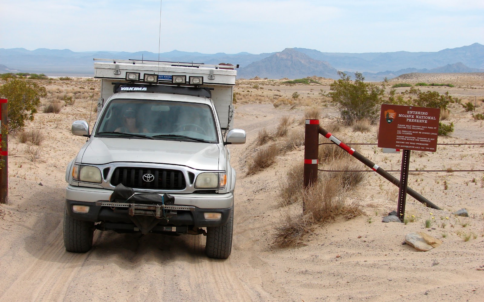
We drove on to the Mojave Preserve boundary. A few miles later we reached Razor Road where we turned right and headed for the I-15 and home.