Driving East down the North Fork of Crooked Creek.
Left to Cottonwood Creek and McCloud Camp. Right Crooked Creek.
Posted: Washout below Deadhorse. No thru access to Wyman Canyon.
Near this location we stopped so I could investigate something found on GoogleEarth.
Driving through granite monadnocks.
Winding our way toward a flat near Sage Hen Peak.
After a steep climb up from the previous valley we reached the flat. (The transmission on the Tacoma made an odd sound of complaint on the climb up to the flat.) Iron Mountain on the left, Sage Hen Peak on the right.
Sage Hen Peak was only a short distance from the road so Bosco and I strolled up to its summit.
First page of the register. I counted 14 visitors in the past five years.
The view North with Station Peak to the right and White Mountain Peak in the distance.
The view South with the road to Dead Horse Meadow on the right. Twenty minutes later we drove over the ridge and began the descent into Deadhorse.
We stopped at an abandoned mine alongside the road on the ridge above Crooked Creek.
There was a curious mix of equipment at the site. Upon my return home I could not discover any information about this particular mine, although it could be part of the
Jay Jay; Lava Cap Nos. 1 and 2; Sage No. 1 and 2 claims.
The view South to Deadhorse Meadow below.
Just after the mine and before the switchbacks I decided to turn around and not drive down to Deadhorse. The transmission on the Tacoma was still occasionally making an odd sound and when I considered how difficult it would be to extract my truck from Deadhorse with the Wyman exit route closed the decision was easy. (To retreat was a good choice because a few weeks later the transmission in the Tacoma was kaput.)
The route back to the flat between Iron Mountain and Sage Hen Peak.
The last half mile was steep and rocky and the transmission voiced another complaint.
We set up camp near Sage Hen Peak.
Sunset over the Crooked Creek drainage.
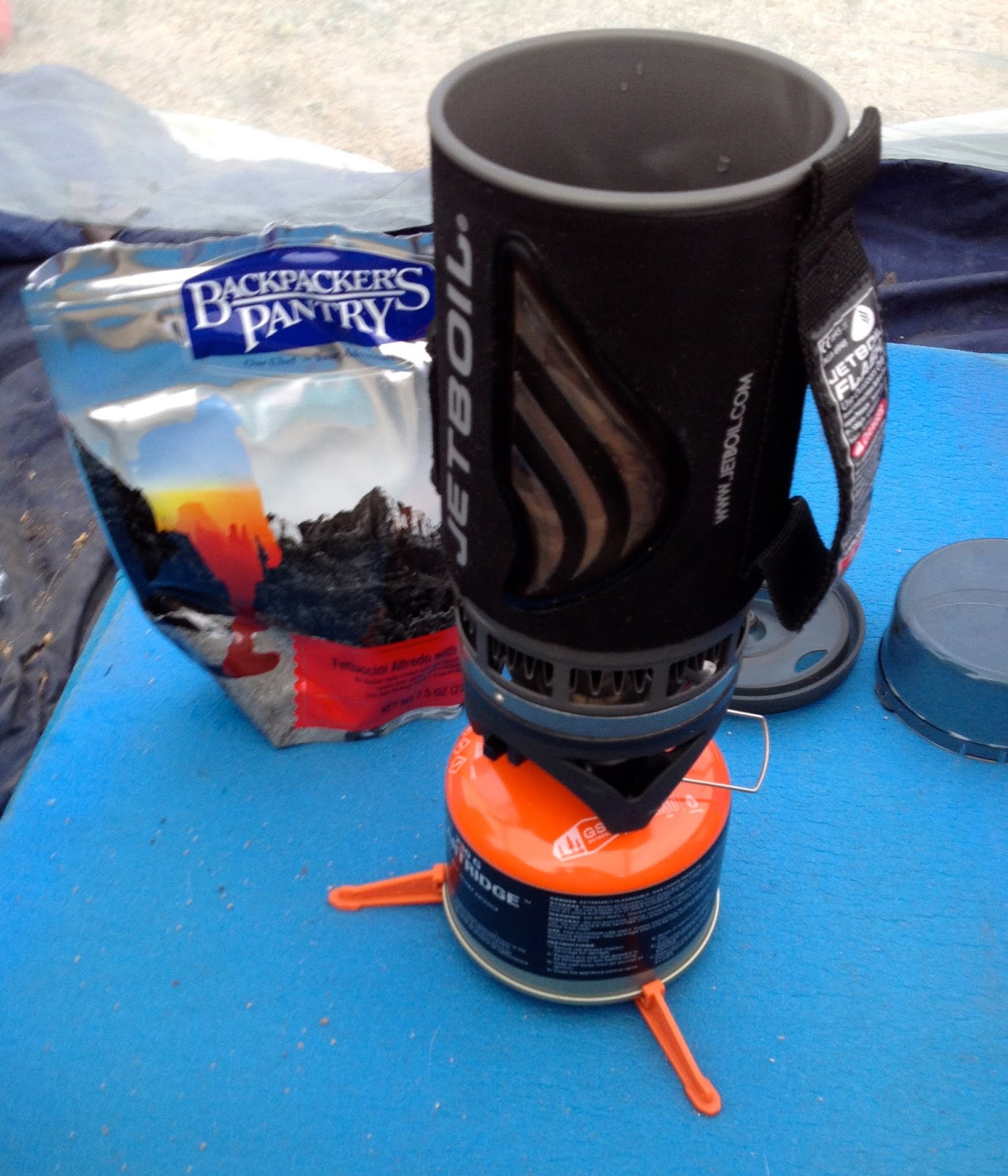
Bosco relaxed as I ate dinner while the light of the day faded into night.
The next morning I reviewed a topographical map for the area and discovered a cabin located in the Crooked Creek drainage at the end of this road. The gradient of the contour lines showed a steeper route than the one into Deadhorse so I decided to hike.
At first the road was mellow but soon became steep and rocky.
When we reached Crooked Creek the road turned left and followed the drainage South.
We walked past a large patch of wild roses.
Soon a cabin came into view.
Between the cabin and the stream was an old water pump.
Later I found a 1931 catalogue on the internet featuring a model of Smith-Vaile pump pictured in the photo above.
That old pump had to overcome a large dynamic head to push water up a serious vertical rise to the mine we had visited the day before. Note the PVC pipe. Someone had been pumping water not too long ago.
A poignant moment occurred as I thought that all the memories of what happened here were probably lost in time.
Interior of the cabin.
As I sat next to the creek eating Bosco jumped across to investigate what was for lunch.
We tried to bushwhack our way South to Deadhorse Meadow by following Crooked Creek but the path deteriorated and we gave up the quest.
We hiked back past the cabin and were soon at the lower section of the steep access road from Sage Hen Flat.
We stopped for a rest break at this section of the road...
... because I had the spot place-marked on GoogleEarth. When looking at the photos on GE it seemed that the vehicles had been abandoned, but they were no longer at the location and when examining the area I came to the conclusion that the satellite had captured a recovery operation.
The upper section of the road is pretty mellow and could lure a driver farther down into the steep rocky section. That steep section would be a challenge without a locker.
We returned to camp in the early evening.
After watching the sun set and eating dinner we retired for the evening.
Dawn on Sage Hen Flat.
Later in the morning while inside the camper I heard the sound of a helicopter flying up the canyon. A few minutes later it was hovering a few feet off the ground about 50 yards from our camp preparing to land. After I stepped out of the camper the copter rotated and flew away. I can only surmise that they weren't looking for an old tall guy with a beard.
After breakfast we drove over to the East side of Sage Hen Flat and started to hike down a canyon toward Cottonwood Creek. My map showed a couple of springs and it looked like we could make a reconnaissance loop through the scenic valley below.
The air temperature was warmer than the day before and Bosco enjoyed the shade whenever he could find it.
We hiked past several large granite monadnocks.
The first spring was dry.
We hiked on into the valley.
Found a faded boot print of a previous visitor.
When we had exhausted half of our water it was time to hike back to the truck. The return seemed to be the longest part of the hike, probably because it was all up hill. (Truck a little above center right in photo on far ridge.)
After dinner Bosco and I watched as night fell over the flats and ...
... the moon rose over Iron Mountain.
The next morning we drove North retracing our route along Crooked Creek.
We wound our way through the narrow granite filled canyon ...
... and stopped for one last romp along a flowing creek.
The upper drainage of Crooked Creek about one mile East of the UC Field Station.
Our route home began with a drive South along the White Mountain Road.