Fish Lake Valley with clouds over the White Mountains on left, Silver Peak Mountains on right.
About nine miles north of Dyer, Nevada I turned left and drove west toward the White Mountains and Indian Canyon.
Years ago I met a man in the Silver Peak Mountains who recommended a visit to Indian Canyon. I had finally arrived.
My first stop was the Mollini Mine Camp on the South Fork of Indian Creek.
The cabins were in various stages of disrepair. According to a photo found on the internet the cabin on the left was intact in 2007.
This cabin was is the best shape.
Inside of the cabin above.
Large doors on this building. Maybe it was the garage.
My first inclination was to not mention this secluded camp when posting this trip but since it was for sale on
Ebay in June of 2014 it wasn't much of a secret. I did resist the temptation to bid on the mine.
The road continued up the canyon and I continued my search for the Alexander/Green Monster Mine.
After a gate the canyon got tighter and more overgrown.
Fortunately someone had recently performed a great deal of brush clearance.
Soon I spotted the mine high above on the mountainside.
The road forked, left up canyon and right to the Alexander/Green Monster Mine but several rockfalls had closed the road to the mine.
The determination of the miners was impressive when you consider the effort needed to haul those truck trailers up the canyon and maneuver them into position.
Gloves waiting for someone to return and use them again.
The equipment/buildings left at old mines are monuments to the efforts of rugged dream seekers.
The owner of these boots must have been expecting to return.
A look inside of the lower adit. More about the mine
here.
I drove farther up the canyon hoping to find a level place to camp before the road became impassable.
About 200 yards up the canyon was a flat area perfect for camping or turning around because the road became an ATV track after this point.
Evidence that others had camped here albeit some time ago.
An old refrigerator drawer made a primitive rain gauge, it held about two inches of water.
A doe and her fawn strolled past my camp while I was eating dinner.
The next morning I hiked up the road, now only passable by ATV, looking for an old track that would lead me up to Chiatovich Flat. Never found the road although I did locate a faint intermittent use trail but gave up on it after a couple of hundred yards.
Instead I continued hiking the old road up to Point 9507. From that vantage point I could look east along a ridge where my map showed a state boundary marker.
Looking north at Montgomery and Boundary Peaks. It's a shame that a subsidiary point on Montgomery such as Boundary and not a fine mountain like Wheeler Peak is the highest summit in Nevada. Wheeler Peak was the high point from statehood in 1864 until the 1890's when the United States Coast and Geodetic Survey surveyed the area, discovered Von Schmidt's error and moved the border west about 2000 feet. But Boundary won highest peak status fair and square by 82 feet.
(When Jan read this post she reminded me that she climbed Wheeler about ten years ago. Then she claimed to have climbed a Boundary Peak in Colorado. I raised my eyebrows thinking and responded back, "that was a 14'er named Quandary Peak.")
I scrambled down and then up the ridge looking for the boundary marker. When found the marker was lying on the ground but soon it was standing upright again.
I continued on along the ridge searching for a survey point named "High." There I found the remains of old marker made from pinyon branches.
The branches had been nailed together to make a crude tripod.
After eating lunch at Point 9507 it was time to hike back to camp. Upon reaching my camp I decided to relax for the rest of day and spend another night.
Leaving my South Fork of Indian Creek camp the next morning.
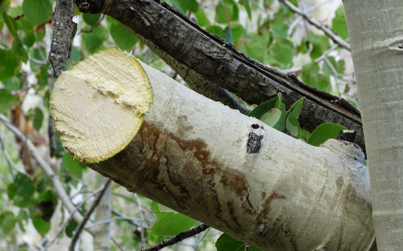
Many of the Aspen trees had names and dates carved into their bark.
These tree carvings reminded me of one that I found at an old deer camp in Utah 25 years ago. It was dated 12/6/1941. When those hunters returned home their world had changed dramatically.
Soon I passed by Millini Camp, reached the Indian Canyon Road and turned left.
More overgrown road along the route up Indian Creek.
After a few miles the vegetation changed.
And then changed again as the road gained elevation.
Ahead a small Aspen had fallen and was blocking the road.
Quick work for the Sharptooth.
The road broke into the open and I wondered how far it would take me before becoming an ATV track.
The answer was about a half mile.
After making camp at the end of the road I prepared to hike up the ATV track.
A view down the Indian Creek drainage from my camp.
The Indian Canyon cirque high above my position.
The old Jeep road climbed higher and higher. I followed it to the end and then beyond.
View east from Indian Cirque.
Mount Jefferson about 100 miles to the east. Three years ago
we camped at Jefferson Pass for two nights and I hiked to the summit of this distant peak.
Indian Cirque. I was a little late in taking this photo and had started the return hike but did not have the photographic drive to hike back to my high point.
Returning down the ATV track and getting close to camp. The rest of the evening was spent preparing dinner and watching the clouds change color while reading a book on my iPad.
Sunrise.
Time to start the drive to pavement before the sun was glaring in my eyes.
Soon Indian Canyon was alight with the rays of a new day.
The last crossing of Indian Creek.
After ninety minutes of driving, the hot and dry Fish Lake Valley was reached.
High on the distant ridge to the north was the rebuilt boundary marker.
The route home.