The beginning of the Laurel Lakes Road is about eight miles south of Mammoth, California.
Climbing up the moraine above Laurel Pond and Mammoth Airport.
The first time I drove this road was back in the 1980's. I remember parking on a turnout near this location and waiting 30 minutes while a 4X4 club of 27 vehicles passed by on their way down the road. Our drive this year was on a Monday to avoid the traffic.
Leaving the meadow and headed for the high road. Bloody Mountain (12,522 feet) was always a presence when looking to the west.
Ken, with his dog, Spike, drove up behind us in a Jeep while I was taking a photo. After talking for a bit we drove on to a turnout and let him drive ahead knowing we would met again because the end of the road was just a mile ahead.
This road reminded us of the
Alpine Loop in the San Juan Mountains of Colorado. The road wasn't as narrow or the elevation as high but the scenic values were similar.
After talking until long after sundown with Ken at the lake he departed our camp, drove up the switchbacks and headed back to his camp at Convict Lake.
Our camp at Upper Laurel Lake. The overnight low was 44º, not very cold for 10,000 feet in October.
The next morning reflections were happening at Upper Laurel Lake.
We made camp at the very end of the road at a campsite close to the lake. Not many places to park near the lake.
Another view of our camp taken just before we broke camp and began the drive out.

The infamous switchback and an editorial comment about how drivers negotiate this corner: While we were camped at the lake six vehicles drove through the switchback and down to the lake. Every single driver chose to make a two or three point right hand turn on the corner. Turning sharply to the right and driving to the edge of the road and then backing up. Repeating the process until their vehicle was headed down the road. A dangerous maneuver that risks catastrophe if an error is made.
The old timers did not make the turn in this fashion. In fact the vehicles that they drove couldn't have negotiated the corner the way modern drivers do. They constructed the road to avoid all the drama and used the "pull in, back up” method" to negotiate a tight pair of turns.
We could have driven the corner just like the old timers but a truck was parked on the upper landing blocking our path. So we had to make the three point turn. We would have pulled forward into the upper landing, backed about 60 yards down to the lower landing and then continued driving down to the lake.
The process was reversed when driving up from the lake. We drove forward into the lower landing, backed up the road to the upper landing and easily drove ahead to complete the corner. When we finished the maneuver Jan commented, "Wow, that was so much easier. Why doesn't everyone drive it like that?"
My answer was that I didn't understand how to drive using landings until 1974 when my 70 year old grandfather explained to me how he drove roads in the Rockies back in the 1920's. He and his partner drove a two-wheel drive Model T Ford into some really remote locations. Sometimes I feel like a real light weight driving the back roads with four wheel drive, steel belted tires and a rear locker.
The road ahead as we return to Sherwin Creek Road .
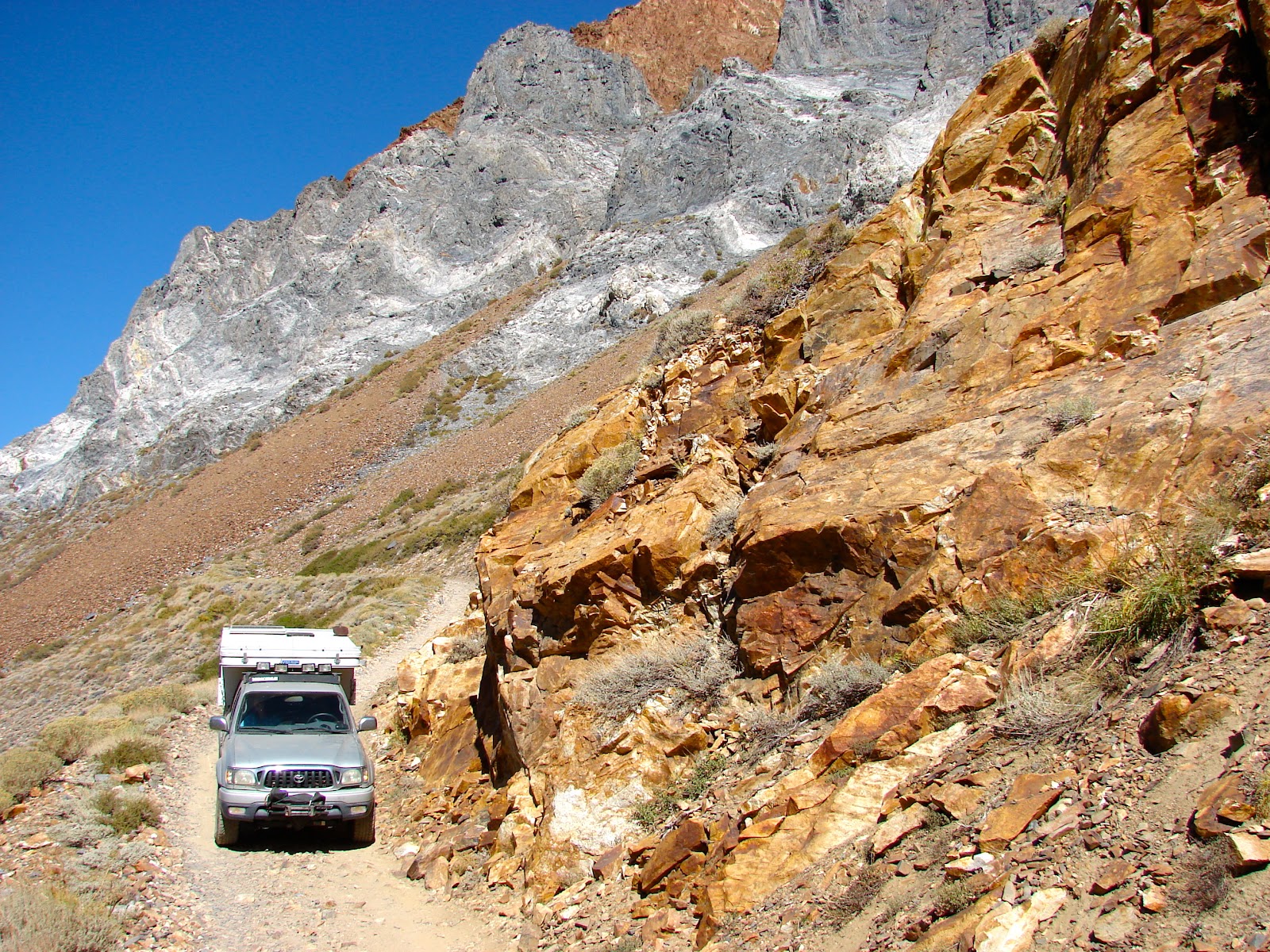
Not many places to pass another vehicle on the higher sections of this road.
Glass Mountain to the east. In June of 2012 we
camped on the western flank of Glass Mountain and after sunset observed the lights of vehicles driving down this road.
Fall colors were on display for many parts of the route.
Just above the meadow on the NW slopes of Laurel Mountain.
Looking back on the road just traveled.
Driving over the last ridge Mammoth Mountain came into view to the north with Ritter and Banner on the right.
A question for visitors to the blog. What was the purpose of asphalt circle in this photo? We drove onto the circle on the way to the 395 and our best guess was an old go-cart track.
The final rocky section before reaching the graded Sherwin Creek Road where we turned right, drove to Highway 395 and turned south for home.


 Grade Valley, Los Padres NF