Use the archive on the right to view older posts.

Sunday, October 12, 2014

Cuddeback Lake - The AU-berg meteorite expedition.

Driving north on US 395 about 15 miles north of Kramer Junction.
Fremont Peak to the east meant that we were close to our turn. 
We turned right onto Cuddeback Road and drove east.
The Johnson, Goldberg, Todd and Trowel vehicles on the road to the dry lake.
Cuddeback Lake and Pilot Knob in the distance.
The Goldbergs led us out on to the lake bed toward our campsite.
In the distance a fast moving vehicle created a streak of dust in front of Fremont Peak. I reached its summit in 1998.
Bob supervised daughter Rachel, and son Robert, as they set up camp.
Clark was the first to ride out onto the lake bed.
Soon Rebecca was leading her squadron of meteorite hunters out in pursuit of extraterrestrial objects. Before their departure she gave all the participants one of her very cool homemade meteorite sticks with magnets and wrist straps to aid in their search.
One on the many objects found on the playa was this survey marker.
It was a beautiful day to be out on Cuddeback Lake.
Later in the afternoon Rebecca led the squadron south.
We found this large piece of concrete and everyone was puzzled about why it was in the middle of the lake.
As the sun neared the horizon the cyclists turned west and pedaled back to camp.
Occasionally we would see vehicles in the distance driving toward the southern end of the lake bed. An hour after sunset we surmised, from the distant music to the south, their destination.
Later in the evening a tarantula was discovered walking across the playa.
The chairs around the campfire quickly emptied as everyone converged for a look at our eight legged visitor. Ethan had dug an excellent campfire pit and when we left the next morning there was just a small mound of dirt to mark the spot of our previous nights fire.
A couple of hours after moonrise everyone retired for the night.
Sunrise at our Cuddeback Lake camp.
Dawn breaking over Slocum Mountain and the Gravel Hills.
Seth and Bob enjoyed the desert sunrise and a hot cup of coffee.
As the sun heated the atmosphere the wind began to gust, signalling that it was time to leave.
The Goldbergs were the first to head for pavement and home.
Soon after their departure it was time for me to do the same.

Monday, October 6, 2014

Centennial Flat, Part 2 - "She had found something special"

Dawn on Lower Centennial Flat.
To the north the rays of a new day were illuminating the summit of New York Butte.
 We hiked to New York Butte's summit in May of 2004. Jan wasn't feeling well and fell asleep sitting in the sun just below the summit as I read entries in the register.
Sunrise was moments away when I noticed Telescope Peak, to the SE, about 40 miles away.
With an entire day of sunshine ahead of us we returned to the Astro Artz cabin and hiked once again up the canyon looking for Rachel's objects. (Even though the location of these objects is known I am not using their actual name to prevent that word appearing in Google searches.)
The first that we found.
A few minutes later Rachel was shouting to us that she had found something special.
Recording the moment.
On the hike back down the canyon I spotted Pleasant Point peeking in from the north. Hiked to its summit on the same day as New York Butte. Jan stayed in the truck. I remember that the register had entries from 1974.
Dan and Rachel said goodbye and began their drive home.
I hiked up another canyon scouting for a future hike.
The trouble with scouting is deciding when to stop.
I returned to the truck and began my drive to pavement.
Rachel's old nemesis was lurking alongside the road.
I stopped and paid my respects to the McKellip's children at their graves alongside the highway. More about this grave site.
 Driving west on CA 190 I decided to take a side trip up a road that had always caught my attention.
At first it was a little sandy but soon the road became a rocky track climbing higher toward the canyons of the Coso Range.
After about three miles I reached the boundary of the Sierra Mine.
The road no longer reaches the mine because of this deep wash out. The channel was about 10 feet deep. It would be quite a surprise for someone driving the road at night.
The view north from the Sierra Mine. After this photograph I drove back to the highway.
While preparing to turn left onto the pavement I heard the roar of approaching jets. Missed the first one but managed to photograph the second as it streaked across the valley. Then it was time to head for home.

Sunday, October 5, 2014

Centennial Flat, Part 1 - "Weapons pylon from an F4"

 Met Dan and Rachel in Mojave then drove north to Olancha. After stopping for fuel our route took us east on CA 190 to find what we were looking for.
 Dan and Rachel out ahead and getting close.
 We walked on.
 And soon arrived at the fallen icon.
http://music-wallpapers.net/walls/u2_the_joshua_tree_wallpaper.jpg
(photo credit: http://music-wallpapers.net)
 For decades I thought the U2 Joshua Tree was in JTNP but was told a few years ago that it was between Darwin and Olancha.
 Dan and Rachel next to the fallen U2 Joshua Tree. The props were found at the site.
 My favorite tribute at the U2 Joshua Tree.
Then we were off to Darwin.
The old mining town of Darwin is private property so this was the best shot available. I do remember back in the 80's walking through the old town and looking at the buildings. I seem to recall that one of the guys in our 4x4 group knew someone who lived there.
Rachel spotted the Darwin petroform.
We drove into the town of Darwin. Population 50.
Dan radioed that he was driving past a unique structure. Upon returning home I discovered that the structure was the Gordon Newell Memorial.
On our way out of town we stopped by the cemetery to pay our respects.
Leaving Darwin.
The Argus Range to the southeast. In a canyon on the opposite side of that range is the Defense Mine. About 15 years ago we enjoyed a drive to that mine and a visit to Lookout City.
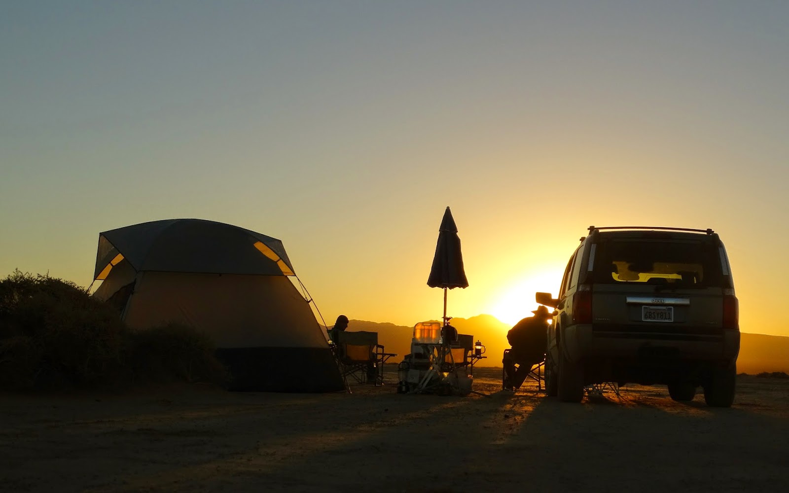
The sun was setting as we drove into the hills headed for our campsite.
Sunset in the hills of the Coso Range.
The moon was so bright that a 20 second exposure looked like day.
Rachel retired for the night after stating that she was disappointed at not seeing any meteors. About an hour later a fireball streaked across the sky. Passing right over her tent. The next morning I showed Rachel the photograph of the meteor and she was extremely disappointed at missing such a remarkable astronomical event.
Full disclosure: I created the meteor by using a white light during a 20 second exposure. The ruse was so successful that I felt a little sad telling Rachel the truth.
At 4 AM the moon was down and the land/skyscape much darker.
The next morning I awoke to the sound of voices coming from above our Desert Madonna camp.
The sun created a lens flare halo around the Desert Madonna.
After breakfast we drove west through a Joshua Tree forest.
I turned us south one canyon early and we soon reached the boundary of Naval Air Weapons Station China Lake.
After a quick backtrack we continued west.
We made the correct turn south, reached the end of the road and hiked south up Black Rock Canyon.
After about an hour of hot bushwhacking we found Black Spring. No water at the spring box.
On our hike north back to our vehicles we spotted this faded symbol.
We drove west to another canyon and turned south once again.
This canyon would take us to the start of our next hike.
 A short hike up this nondescript side canyon would lead us to the remains of an event that happened more than 40 years ago.
Weapons pylon from an F4 on the floor of the canyon. On June 26, 1972, two Navy F-4J Phantoms collided over the Coso Range. Both crews ejected safely.
High on the slopes of the canyon was a portion of a wing.
Dan and Rachel approaching the tail.
Closer view of the tail. Rachel and Dan found another section of the plane high on a ridge to the SW of the tail. I walked south across the plateau but found nothing more.
After concluding our aircraft wreck investigation we drove over to the Astro Artz cabin.
I offered Rachel a "bright shiny new nickel" to spend the night sleeping in the cabin but she declined my generous offer.
We hiked up the canyon south of the cabin for about 3/4's of a mile searching for something but began to run out of daylight so we returned to our vehicles and drove on to our campsite.
After setting up camp Dan prepared some delicious hamburgers and Rachel googled the story of Juliane Koepcke. Amazingly she had cell service for practically the entire trip. Soon after the moon rose we turned in because we planned on hiking the canyon again in the morning.