Our first stop, The Buttes. We were scouting for a rendezvous spot to be used next spring. I climbed the highest butte about ten years ago and remembered a large camping area nearby. The camping spot was as I recalled but filled with holiday weekend campers and their RV's. That was to be expected because a Thanksgiving weekend is a crowded weekend in the Mojave Desert. (A F-22 Raptor crashed a few miles from The Buttes back in 2009.)

We drove on past the Harper Lake Solar Electric Generating Station on our way east from The Buttes.

The station uses a field of parabolic collectors to supply thermal energy to a conventional electric power plant.

We stopped to take a photo of the Lockhart General Store. I have driven by the store many times and always have the same two thoughts; it would have been so very cool to visit when it was open for business and will it still be there the next time I drive by.

The general store once 'sold everything' but nothing much is left of Lockhart. It was once a thriving farming community. The dry lake to the north was used during WWII as a secret aircraft testing field.

We arrived at the Harper Dry Lake wildlife viewing station and were surprised at how much water was there in November. Later I read that the Solar Electric Generating Station supplies up to 75 acre feet (93,000 m3) of water per year to the lake as part of the mitigation agreement for solar field expansion.

Ducks feeding on the lake with Black Mountain in the background. Climbed Black Mountain in 1999.

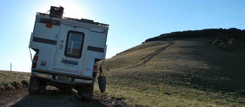
FWC and Harper Marsh with our next destination, Lynx Cat Mountain, in the distance.

Driving up a 4x4 trail to the saddle and the start of our climb to the summit of Lynx Cat Mountain.

Looking down on our vehicles as we approach the summit.

A zoom of the camera catches a golden sunset silhouetting Double and Tehachapi Mountains about 70 miles away. On the lower right in the photo Tule Fog creeps over from the San Joaquin Valley. Climbed Tehachapi in 2004.

Another sunset photo from our camp looking across Water Valley. We sat in our chairs eating dinner and Jo Ann remarked that, "it's a lovely, peaceful evening, .......except for the explosions." Down in the valley about a mile away a camp of RV'ers were creating some really powerful explosions. To give the reader a feel for the size of the explosions, we thought at first that they were making bombing runs over at China Lake NWAS.

Sunrise at Lynx Cat Mountain camp.

Fremont Peak about eight miles to the Northwest. Climbed it in 1998.

Driving a sandy road just because we want to see where it takes us.

A familiar target of sportsmen everywhere. Considering how close it was to the road the shooters must have needed the practice.

Just like elephants, sofas need a place to die. We counted seven sofas at this location and wondered why someone would drive all the way out here just to dump them.

Jo Ann spotted this den, one of several in the area. Feral hogs would be my guess.

Lynx Cat Mountain from the Northeast.

We crossed this small rime crusted playa on our journey back to the main road.

To quote Kevin Bacon in the movie Tremors, "Freeway."

We followed the well maintained powerline road back to pavement and headed for home.

Double and Tehachapi Mountains are now only 20 miles away as we near Mojave.