Our first camp.

View from our kitchen window.

Storm breaking over the Sierra Nevada.
Headed for Westgard Pass in the White Mountains.

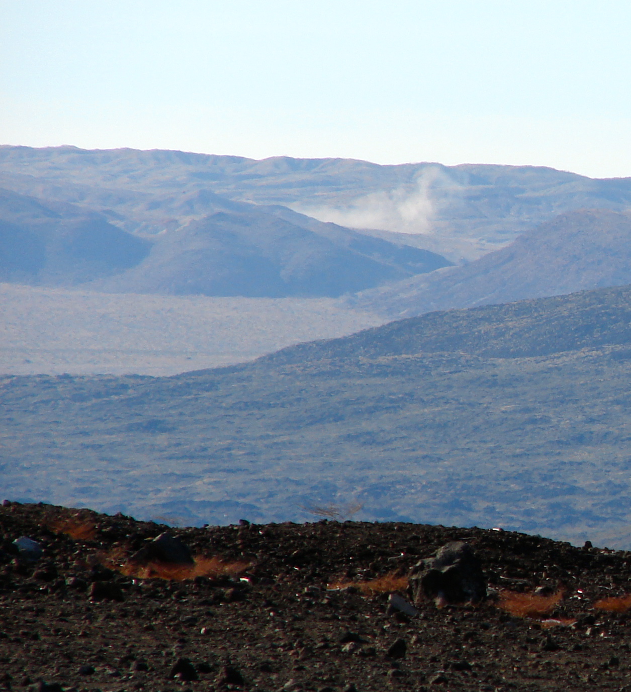
Near the OVRO.

We set up camp at 7200 feet and waited for the approaching storm.

The next morning and a little disappointed in the amount of snow. The forecast had called for 8 to 12 inches. We got about six inches.

Enough snow to ski.

Another track in the snow.

The second night just after sunset the outside thermometer read 11º predicting subzero overnight temperatures. We left our Westgard camp and headed down to a lower elevation and warmer climes at 4,600 feet. The early morning sun warms the Sierra at our new camp.
I was sitting outside of our FWC reading when the first jet roared up the valley and spent the next ten minutes watching until I finally thought to get my camera. They never came as close as the first pass but it was an entertaining 20 minutes.

Driving away from our campsite.

Taking a circuitous route to the Shark's Fin. Lone Pine Peak looms over our road.
This set of whoop-de-doos seemed a good time for a driving over the camera shot.

The Shark's Fin.

Snow covered Inyo Mountains in background.

The Inyo's reflect in the seldom seen surface of Owens Lake.

While taking the photo of Owens Lake we noticed an old dump.

A favorite orange soda from the past.

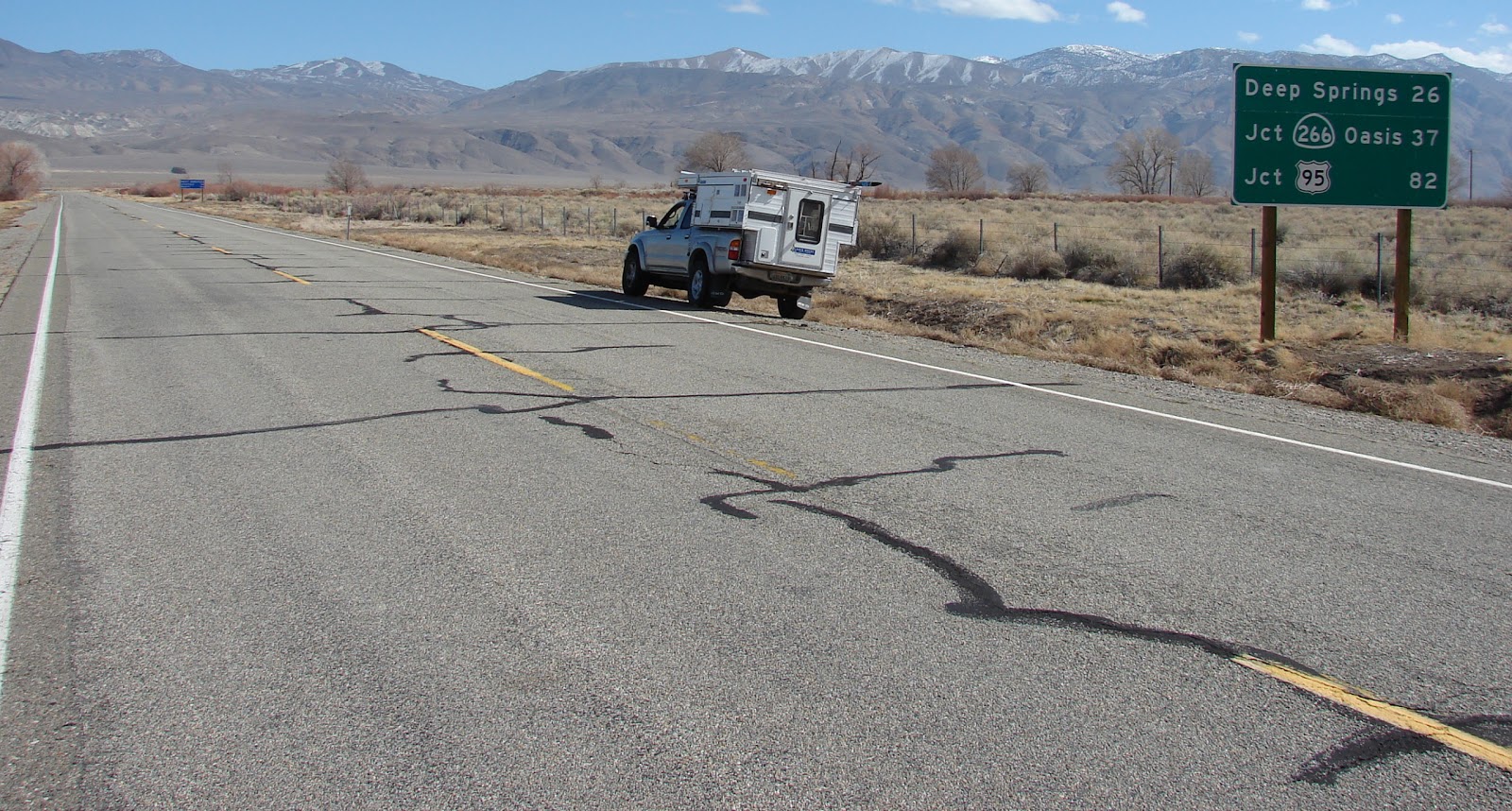
Returning to the 395.
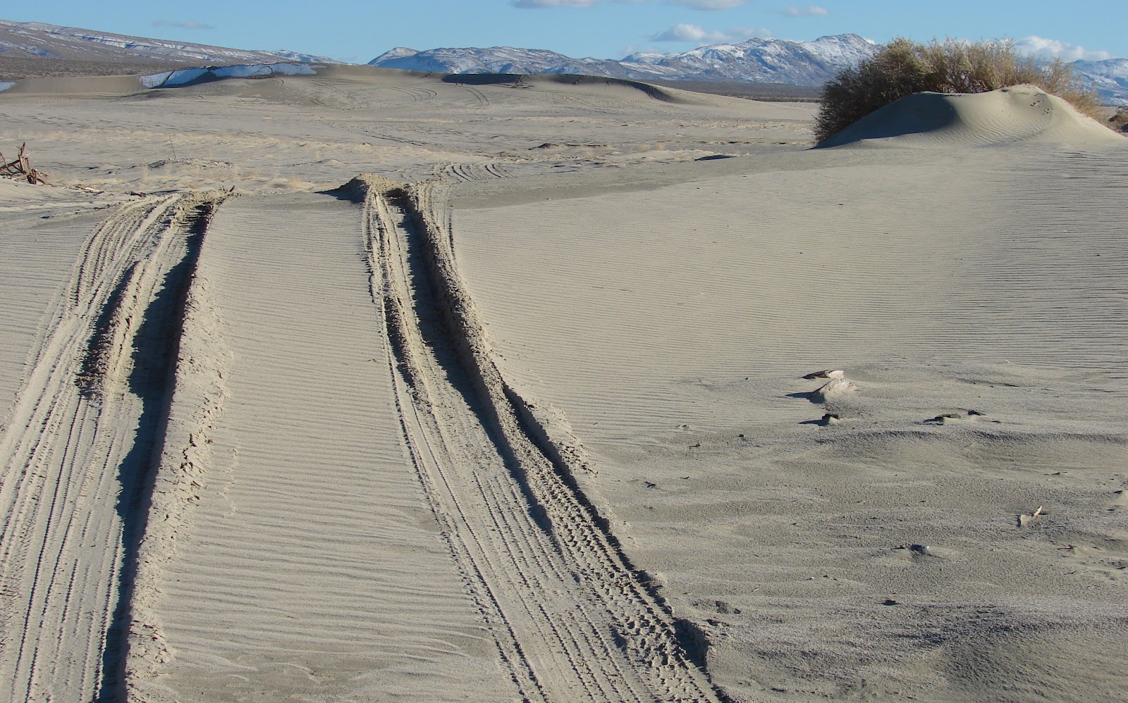
Having driven past Olancha Dunes countless times we decide to visit.

There seems to be only one major dune and Jan climbed to its summit.
Jan attempts to glissade down the dune. She has successfully used this technique on 14'ers in Colorado.

Leaving Olancha Dunes and heading for home. Jan's failed glissade in background.