Use the archive on the right to view older posts.

Wednesday, December 31, 2014

Around Lake Mohave - "Good place to wait for a snow storm"

We purchased fuel in Searchlight, Nevada, drove south on US 95 and then turned left on the Loran Station Road.
Drove past LORSTA Searchlight.  Video of the station in operation here. The station was decommissioned in 2010 and the antennas are now gone. Anyone out there remember using LORAN? It was the standard of navigation for more than 40 years before GPS. Here is a video of how it worked.
We continued east into the Newberry Mountains. Devil's Thumb on left, Spirit Mountain on right, poking their summits into the orange rays of the sunset.
Our route was a short cut that took us down an easy 4x4 road to Empire Wash.
As darkness fell we reached the boundary of the Lake Mead National Recreation Area.
The road had a couple of small washouts and was fun to drive in the dark but we were disappointed to not see the scenery. Early sunsets are one of the downers about exploring the desert during winter.
At the eastern end of Empire Wash we turned left onto the Mead-Davis Powerline Road. After a roller-coaster ride up and down no-name washes we arrived at Nellis Cove.
 We set up camp alongside a dark Lake Mohave with the lights of Laughlin to the south.
Dawn at Nellis Cove on the western shore of Lake Mohave.
We brought our inflatable kayak to paddle the lake but the wind was gusting and the waves were rough even in our cove.
After lunch I walked the shore to a cove to the south. Shot this panorama of Nellis Cove during my return.
Later in the afternoon a few ducks landed in the lee of a small peninsula.
A weather front started to move in, so I turned on my 2-meter radio and checked the NOAA forecast on 162.425. Snow was predicted above 2,500 feet in the local mountains. The question; stay by the lake for drizzling rain or drive into the mountains for blowing snow?
It took us less that 20 minutes to break camp and begin our drive to a higher elevation for blowing snow.
We choose to camp at Christmas Tree Pass. Seemed like a good place to wait for a snow storm.
Dawn at Christmas Tree Pass.
The decorations on the nearby flora seemed more appropriate in the snow.
After a late breakfast we broke camp.
There were many decorated trees near the summit of Christmas Tree Pass. This was one of the best.
Driving east down Christmas Tree Pass Road headed for Laughlin. After five nights in the camper it was time for a motel.
View of the Newberry Mountains from the window of our room.

Monday, December 29, 2014

Lucy Gray Mountains - "Required low range in the M59"

We drove east on I-15, exited at Nipton Road and drove southeast to the desert metropolis of Nipton. Then we pulled into the empty dirt lot in front of the El Oasis Cafe and parked. Upon entering the ramshackle establishment Jan ordered the enchilada dinner, I chose the Bill Burger and both selections were excellent. Great tasting food, friendly service and a relaxing atmosphere can be found in the little desert town of Nipton. Next time we might give the Nipton Hotel a try.

After dining in Nipton we drove northeast alongside the Union Pacific rails.
To the north we sighted the Ivanpah Solar Electric Generating System.
Soon we turned right and drove east into the Lucy Gray Mountains. Just moments after this photo was taken a Big Horn Sheep ran across the road in front of us.
It was after sunset when we set up camp in a wash near the road and prepared dinner.
Another cold crisp dawn in the Mojave Desert. After breakfast I began a hike up the canyon to the Lucy Gray Mine.
The Lucy Gray Mine is/was for sale.
The Lucy Gray cabin and it was in sad condition.
I followed the road up the canyon toward the mine and found, I think, a 1950 M59 dump-truck with a Reo engine and Heil three yard dump-bed. 
Someone, very recently, had been scavenging this truck.
I found this photo, from a 4x4 website, taken in June of 2014 and it shows the truck intact. On my visit there were fresh tire tracks and foot prints at the truck and a portion of the dump bed had been removed. The scavengers also had removed the front and one of the rear axles, radiator, fuel tank, engine hood and front bumper.
The mine was high up a canyon to the north.
I have always enjoyed driving big old trucks and while hiking up the road imagined driving down from the mine with a load of ore in the dump-bed.
The road was steep and would have required low range in the M59. (When I returned to camp Jan told me that when she was seven years old she owned a yellow toy dump-truck. She pedaled it around with her dolls in the dump-bed. Quite a juxtaposition in those two truck stories.)
The Lucy Gray Mine. All of the buildings were in some state of collapse.
The adits and shafts were sealed.
Hiking back down the canyon to our camp I found this smashed and buried car in a small wash near the road.
Back at camp bees had found moisture at our waste water outlet. After this photo more bees arrived and it made breaking camp a bit more exciting than usual.
Driving down the canyon the "Ivanpah Bird Burning System" came into view.
Estimates per year range from a low of about a thousand by BrightSource to 28,000 by an expert for the Center for Biological Diversity environmental group. - WUWT
We returned to Nipton, turned left and drove east toward Lake Mohave.

Sunday, December 28, 2014

Mojave Preserve/Ivanpah Range - "With an old umbrella frame on top"

 We drove east on I-15 and clawed our way past a 20 mile traffic jam before/after Barstow by using a couple of backroads.
 After what seemed like, and actually was, hours we turned south on Cima Road, entered the Mojave Preserve and drove through a Joshua Tree forest to our campsite.
Our camp nestled in a rock cove in the Ivanpah Range.
Dawn and a telephoto lens brought the Mojave Cross into view. Good to see the legal battles concluded and the cross restored.
 We drove northeast toward some places that I had visited 25-30 years ago.
 This cabin was collapsed but the outhouse was still standing.
 We drove on.
And soon reached Riley's Camp.
 The largest of the rooms inside the cabin. A lot has changed in almost 30 years. It had a lived-in look back in the 80's. I told Jan that I had photos of the place and she reminded me that I did not. Ahh, yes. When one's home is incinerated by a raging wildfire, paper photos don't survive.
 We checked out the other cabin and then drove over to the next camp. The gate to Geer Camp was shut and locked, so we moved on.
 The next camps were in rough condition.
 Jan remarked that this kitchen looked like mine before we were married.
 I remembered this old bus and after all of these years the tires were still holding air.
 Behind the bus was a dugout.
 Was really disappointed in the state of this cabin. The inside rooms were again gutted and destroyed. It had been the coolest of the cabins I visited years ago.
 This truck still sits where it was last parked.
 We drove west to this cabin.
 Spartenette trailers were manufactured in the 1940's and 50's.
 Here is a link to see what this trailer once looked like.
What the interior looks like now.
 View out the living room window of the main cabin.
 After taking this panorama photo we drove on.
 House trailer and dozer at the Standard Mine.
 Near the trailer was a dugout with an old umbrella frame on top.
 Another bus.
 And near the bus was 2/3's of a car.
 It was late in the afternoon when we reached a small graveyard where Riley Bembry, the man who created the original Mojave Cross and built Riley's Camp, rests near his friends.
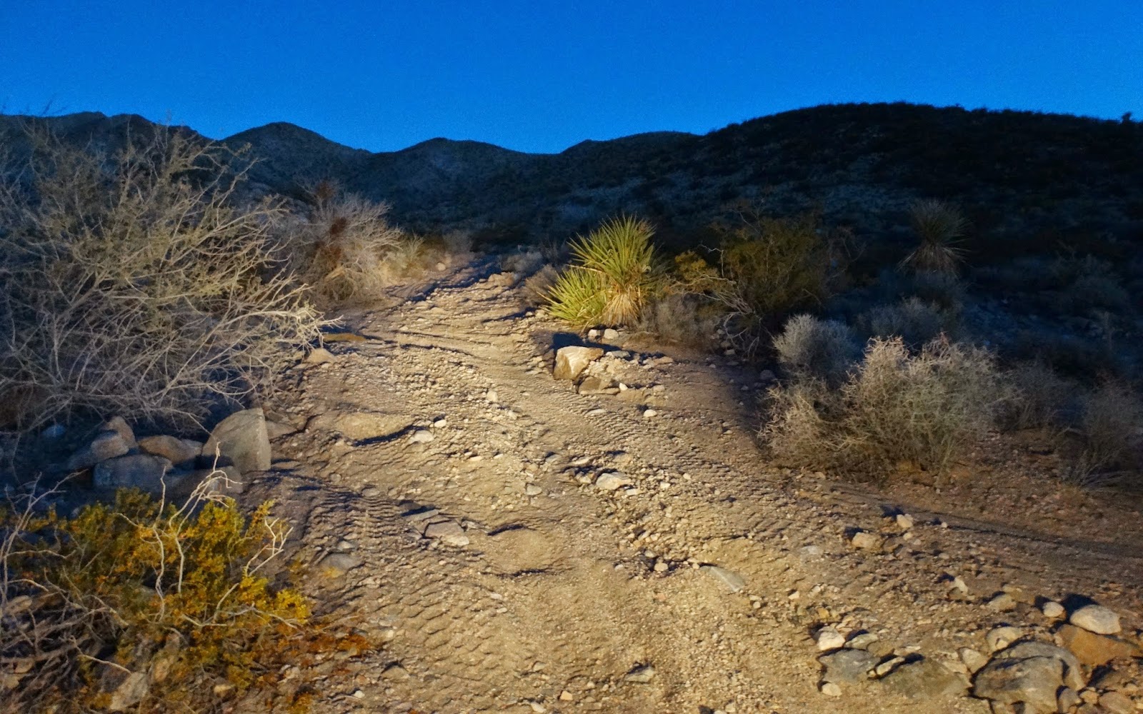
 The shadows were getting longer as we drove to the next objective and our camp for the night.
 Rogers Camp.
 A look down a nearby shaft.
 Soon the sun had set and the temperature dropped considerably.
 I had never visited this cabin and thought that it probably had once been a snug little abode but we slept in the camper.
 Dawn at Rogers Camp.
 After breakfast it was time to head for pavement.
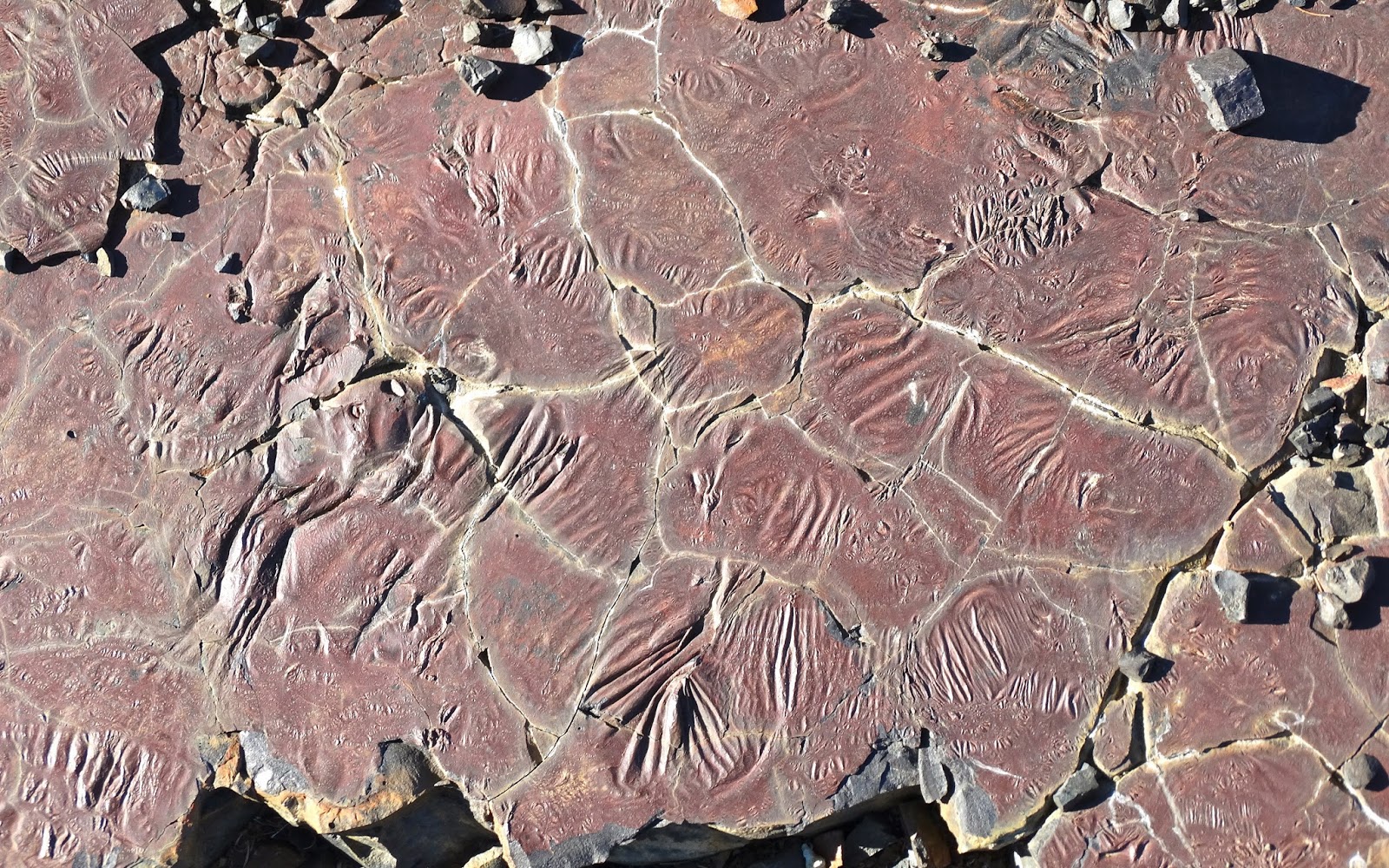
 We drove north, crossed I-15 and soon arrived at the slag piles of the Copper World/Valley Wells smelter.
 The smelter began operations March 10, 1899, producing six to seven tons of ninety-five percent pure copper matte or bullion daily. - Larry M. Vredenburgh (1996)
After checking out the few remaining structures at the smelter and admiring flow patterns in the slag it was time for us to drive on to Nipton.