Driving North through Hinkley. Yep, the same Hinkley as in the 2000 movie "Erin Brockovich." The school
closed in June 2013.
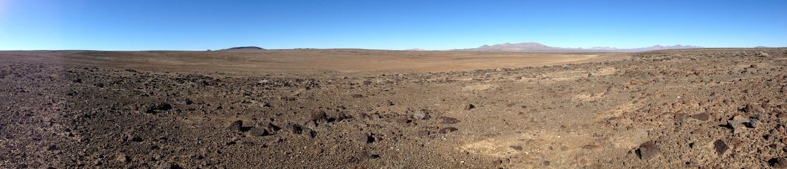
The road is paved for about three miles. Aptly named Black Mountain is in the distance.
After another couple of miles of graded dirt road conditions changed.
Opal Mountain to the North. Hiked to its summit in 1999.
We turned East, drove past Murphy's Well and through a break in the
Opal Mountain Volcanic Formation.
Soon evidence of the rain eight days earlier appeared.
To the North it appeared that Superior Dry Lake was no longer dry.
We drove past an old mining claim.
The sign has been standing for 37 years. I remember driving by it in 1998.
In the distance just before sunset a mysterious bright orb hovered above the valley.*
Set up camp on the road because I didn't think anyone would be driving by during the night. We had not seen another vehicle since leaving Hinkley.
During the night more mysterious lights appeared to the North.*
The next morning a couple of small lenticular clouds formed above a hill to the South.
It was a frosty morning.
The temperature began to rise as the sun rose above the horizon.
After breakfast Bosco and I hiked West toward our objective and found an old tortoise shell.
How long had the .50 cal casing been resting on the heart shaped rock?
To the South a reflection caught my eye.
Looked like an old target drone. Once again I asked myself the question, how long?
We continued West.
After another 30 minutes we reached a large depression.
I had noticed this feature on a topographical map several years ago. Surprised at the amount of water in the depression.
After exploring the area we hiked back to the truck.
And then hiked East to see what else we could find but the only object discovered was an old beer can.
After lunch it was time to break camp and move on.
In a few miles I had to make a choice; drive West or East. West would be shorter but East would probably have less mud and water. A moment later a pickup truck appeared on the road coming in from the West. The driver stopped and I asked about road conditions. He told me that the road was good with only a couple of spots that might require four-wheel drive. I drove West.
The first obstacle but there was a by-pass.
Another obstacle but no by-pass.
And another with no by-pass.
I was beginning to think that the driver's definition of a of good road was different than mine.
After several more mud crossings we finally reached a dry roadbed.
That is until we were West of Inscription Canyon. Luckily there was a by-pass around this quagmire.
The sun was setting as we drove South down Black Canyon.
It had been a good ten years since I had driven this road. I was tempted to stop by Scouts Cove because a friend had told me that the cave cabin had been cleaned up but we were running short of daylight.
Harper Lake looked very wet when we reached the mouth of Black Canyon
The condition of Harper Lake meant that we weren't driving South. So, we turned East hoping to link up with the Hinkley Road but there was one more obstacle in our way.
Darkness descended as we worked our way East.
After 30 minutes we reached a dry road and saw the lights of Hinkley ahead. Pavement and the route home was only ten minutes away.
*The bright orb was the last light of sunset reflecting on a stop sign. The mysterious lights to the North were red flashing aircraft warning beacons on NAWS China Lake.