
The road to Grade Valley is getting narrower.

Headed for Thorn Meadows Camp.

Cattle grazing in Grade Valley and in the background to the left is a GPS seismograph station.

Stopped at the old Fish Bowls Trailhead. Years ago a person could drive two miles up the creek to the wilderness boundary. It made the hike to the Fish Bowls much shorter.

My mapping program includes both a 1900 and 1930 series topographic map. They both showed cabins but the 1988 series did not. I stopped to search for any remains. Found nothing.

Sighted an elusive 'treehugger' ;) after the turn onto Thorn Meadows Road.

There was no road to Thorn Meadows on the 1930's topo.

Arriving at the campground and find the restrooms shot to hell.

Really.

View from inside was sort of astronomical. :)

Rock formation behind the restroom.

Dawn at Thorn Meadows Camp. Over night low of 40º. This camp was once called Snedden. Probably named after Samuel Snedden. Makes one curious why they changed the name.

The trailhead for Thorn Point is located at this camp. Hiked up to the lookout ten years ago. Very cool place to visit.

The guard station was constructed more than 100 years ago, when the only access to this area was on foot or horseback.

The station has a broken window but hasn't been vandalized like the restrooms.

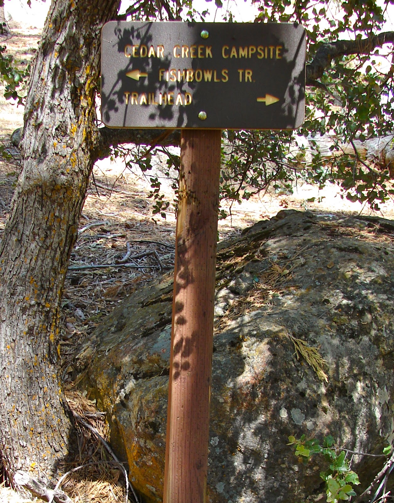
About one mile east of Thorn Meadows is the Cedar Creek Trailhead. I decided to hike up to Cedar Creek Camp.

Bear tracks were plentiful along the trail.

Along Cedar Creek.

Many coyote tracks.

Have no idea what was going on here. Maybe someone built a sweat lodge.

This stream crossing was just before the campsite.
Arriving at my destination.

One of the campsites at Cedar Creek Camp.

Interesting design on a trail side log.

Cedar Creek didn't have much water in June.

Most of the trail is open grassland with scattered trees.

Truck and camper wait at the end of the trail.

Sighted on the drive back to the Grade Valley Road.

Nine miles to the Lockwood Valley Road and then a right turn toward home.


i was looking for pics of Lunar Craters in NV, and that led to your blog -- what a great find! I've been to most of the places, and so looking at the pics is great fun. But I've been doing like your pre-FWC days, and sleeping usually just on the ground. And I've been getting there ever-so-slowly in a regular ole 2WD passenger car! Gotta drive slowly, get out every few hundred yards and clear an enormous rock, etc. Time for a change, which I've been contemplating for a ong time. Its a lot of research and new stuff I don't know about, a little bit scary, but your blog has inspired me, so thank you!
ReplyDeleteWe really enjoy the remote places of Nevada and Lunar Crater is one of our favorites. Having a 4WD has allowed us travel to some very unique locations but I do remember the 2WD days and the sleeping on the ground nights. Thank you for the kind words. Cheers.
Delete...maybe not "most" but quite a darn few of them. you'd be amazed at the places i've been able to get to, hahaha
ReplyDelete