The West Side Road with Cinder Hill straight ahead.
Then we turned west onto Warm Springs Road. If any reader enjoys driving on washboard roads these two won't disappoint.
Leaving the lower elevations of Death Valley on the Warm Springs Road.
Soon we were driving down a rocky track that once served a group of talc/soapstone mines.
Jo Ann returning from a scout of the high road. We set up camp at the location of this photo.
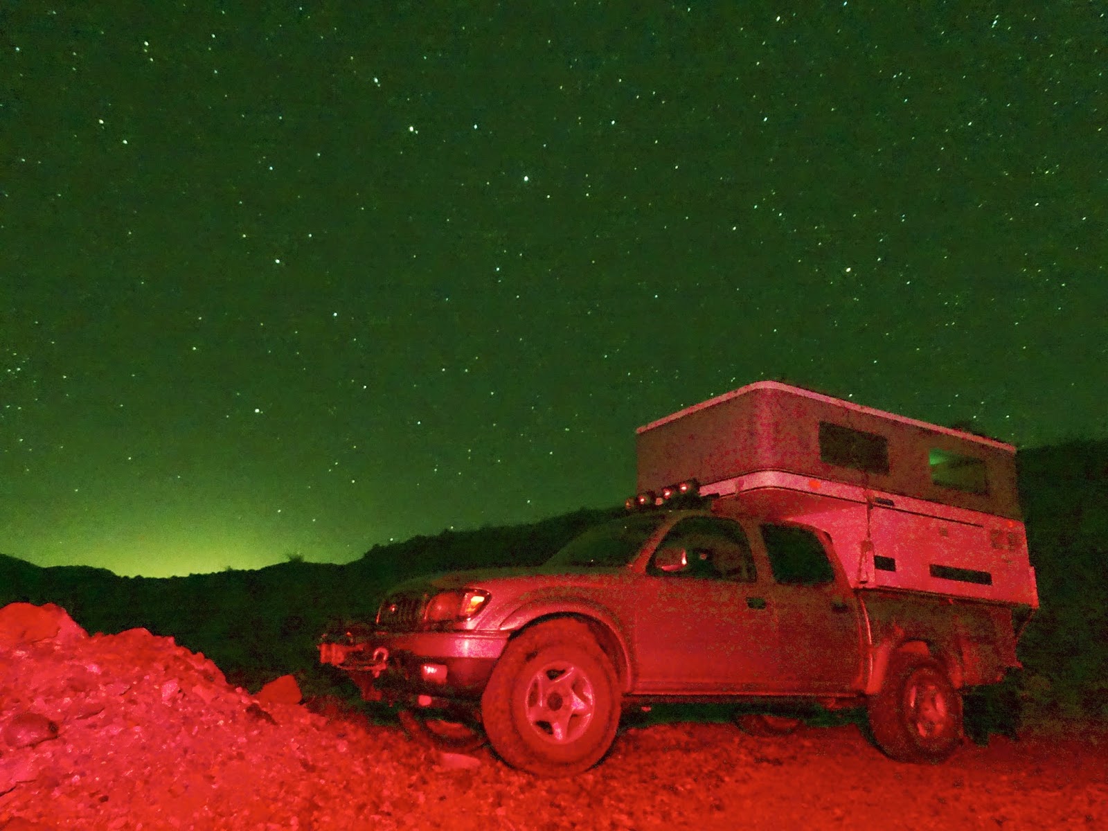
Stars above and the lights of Las Vegas in the distance.
Dawn between Warm Springs and Anvil Springs Canyons. After a leisurely breakfast we grabbed day-packs and began our hike to Lost Spring.
Our route into Anvil Springs Canyon. Years ago, before the Warm Springs Road was built, the route to Butte Valley traveled up Anvil Springs Wash. That probably explains why this road was built.
We followed burro trails up the wash and then turned left into Lost Springs Canyon.
Evidence that someone had been hiking in the canyon recently.
I stashed a water bottle in the shade of this prominent rock.
Jo Ann out in front. It was about here that I discovered that I had left my camera back at the water stash rock. "And that my friends is how I turned a hike of ten miles into one of eleven miles."
Jo Ann spotted this desert iguana sunning on a rock. Looking at it's angry stare, I think that if the creature had been 20 times larger we would have been running for our lives.
I called for Jo Ann to look at these bones because at the start of our hike she said that she would like to see a burro. She soon revised her statement and said, "I would like to see a live burro!"
We were surprised to find this lone tree growing in the wash.
Soon we were zigzagging our way through a thicket of bushes.
After fighting our way through a couple of hundred yards of vegetation we decided to follow ...
...the burro tracks up on the side of the canyon. The burros had the right idea.
We descended down to the spring through a small cut we named "Profanity Canyon" because of the words that Jo Ann used after nearly breaking her ankle during the descent. After realizing that the ankle had escaped injury she apologized for her transgression.
The narrows of Lost Spring Canyon.
The spring was producing very little water. A person would have to dig a hole to pool enough water to filter but then it has been a very dry four years.
We found a route up and around the narrows and regained the wash but soon decided it was time to reverse our course.
Looking back on the burro track high road. Lost Spring narrows center-right.
Shadows were getting long as we hiked back down the canyon.
Possibly the remains of a young Big Horn Sheep.
When we returned to camp my body said NO to the idea of night-time photography so instead I changed temperature and tint levels to create an image that reflected my mood at the time.
Early morning at our mine road camp. After taking this photo I ate a quick breakfast and decided that another couple of hours of sleep was in order.
While we were breaking camp a couple of vehicles started to drive down the road. They both stopped. Then one continued down and drove over to our camp.
The driver of the first truck told us that the other vehicle was two-wheel drive and was stuck on a steep rocky section. They did not want to drive any farther and could not back up.
Luckily Jo Ann owned a Rubicon and using this very capable vehicle we found a route to get above the stuck truck. Soon a tow strap was rigged between the truck and jeep and with the spectators shouting encouragement Jo Ann pulled their truck up the hill to safety.
As a shadowy curtain of sunset rolled up the Black Mountains to the east our new friends posed for a final photo and then headed for Furnace Creek.
Note: There was cell service for about three miles as we drove east on Warm Springs Road.


No comments:
Post a Comment